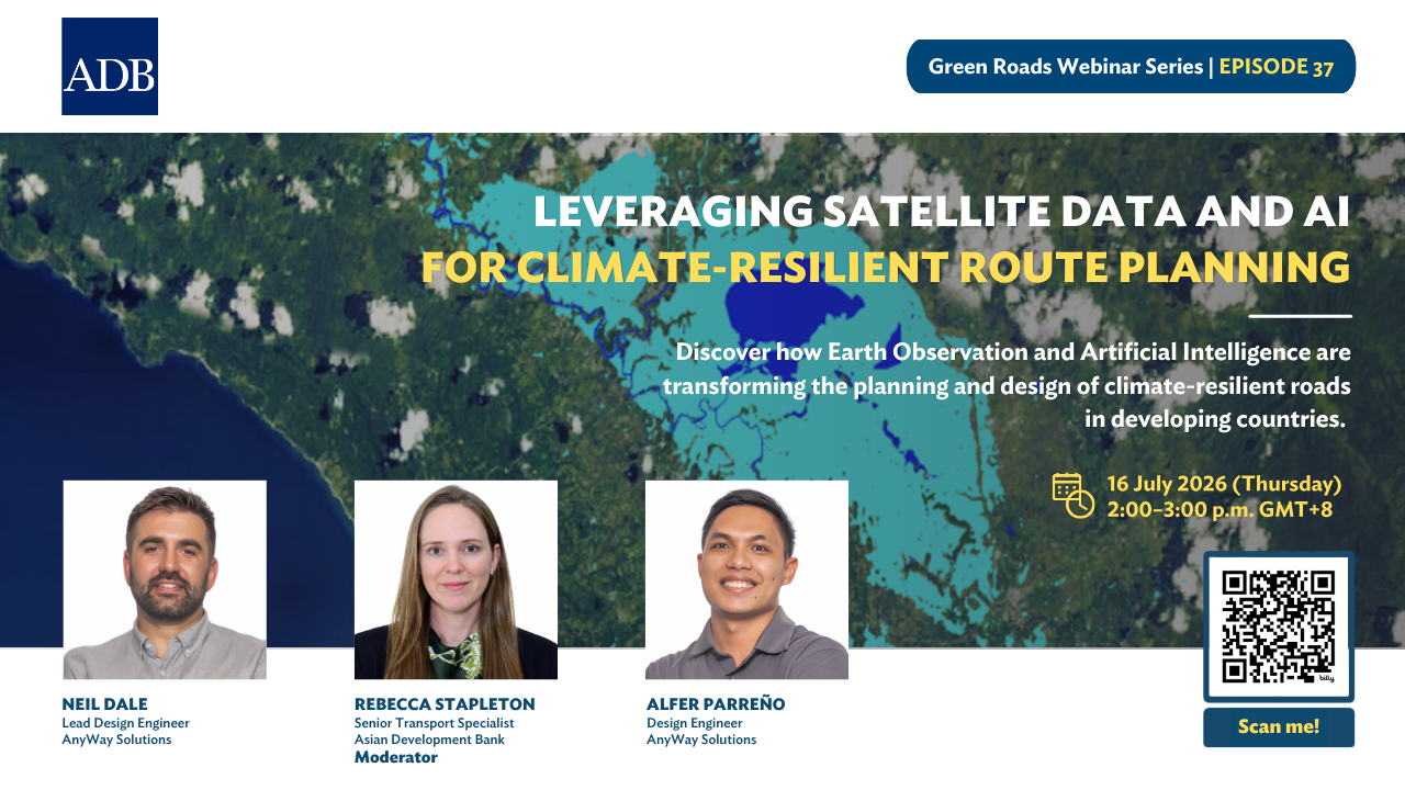
Leveraging Satellite Data and AI for Climate-Resilient Route Planning
Event Type:
Date:
Time:
Organizer:
The webinar will demonstrate how Earth Observation and Artificial Intelligence can support the planning and design of climate-resilient roads in developing countries.
Roads in remote, hazard-prone regions are often planned with limited data on terrain, flooding, and climate risks. What if those risks could be mapped before a corridor is ever chosen?
This session will demonstrate how satellite imagery, remote sensing, geographic information systems (GIS), and AI-driven route optimization can identify feasible corridors, assess terrain and climate risks, and develop more resilient, cost-effective road alignments. Drawing on real-world case studies, the discussion will show how these approaches improve decision-making and reduce project risks from the earliest planning stages.
For Southeast Asia, where many countries are making major investments in new road corridors across flood-prone and mountainous terrain, these tools offer practical ways to build roads that hold up against a changing climate.
The session is part of the Green Roads Webinar Series, which examines the nature-positive benefits of green roads, highlighting their cross-cutting contributions to decarbonization, climate resilience, water management, biodiversity, disaster risk reduction, construction materials, and inclusive growth.