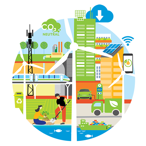
Since Sputnik 1 became the first satellite that safely made it into orbit in 1957 and after Explorer 6 took the first image of Earth from space in 1959, earth observation satellites have demonstrated their potential to help the planet. The data collected by these satellites help in addressing development challenges, from adapting to climate change risks to ensuring food security.
Across Indonesia, earth observation satellites and solutions have been used to address various challenges, from managing agriculture to geohazard mapping and flood control, a new report from the Asian Development Bank (ADB) illustrated. Over the years, ADB has promoted the use of earth observation products and services in the Southeast Asian country in partnership with the European Space Agency (ESA).
1. Inland and marine aquaculture
Earth observation products and services can be used to collect and monitor coastal habitat and water quality. The data collected can provide key insights for planning aquaculture investments. ADB has promoted the use of these solutions in Central Java, Bali, Lampung, South Sulawesi, and Aceh provinces.
Earth observation satellites can track annual changes in coastline, which can then be used in planning new economic developments in aquaculture and tourism. They can also be used for new infrastructure planning such as ports, transport, and infrastructure, as well as marine navigation planning and maintenance.
Monitoring areas with aquaculture operations, tourist activities, or desalination activities can detect the presence and changes of harmful algal blooms, which can be seen in space because of the pigmentation of the algae. Earth observation satellites can also assess long-term stress on coastal ecosystems sensitive to the state of water quality, such as mangroves, coral reefs, sea grasses, and coastal wetlands.
Earth observation data helped analyze water quality in Lampung by tracking certain indicators, including chlorophyll, water transparency, and sea surface temperature. Having such data helps lower cost and increase spatial coverage for collecting water quality information. The satellite-derived water quality information is used primarily to complement limited and costly local measurements by enabling an extrapolation of the local to large-scale areas, or to provide data outside the local data collection time periods.
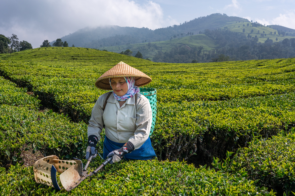
2. Dryland agriculture
Similarly, earth observation services and solutions can be used in managing dryland agriculture. ADB has promoted the use of earth observation products and services for precise geospatial analysis to map agriculture and manage crops in West Java, North Sumatra, and East Nusa Tenggara.
Earth observation solutions can help farmers monitor and manage their fields to improve crop production. These solutions can detect changes over time in vegetation, crops, rural infrastructure, land surface types, land use, and biomass health indicators. One of the metrics that can be tracked is the photosynthetic activity of plants, which can indicate the health and productivity of agricultural, forest, and natural ecosystems.
The data collected can also serve as early warning indicators and input data to produce a range of higher-level agriculture and crop mapping and monitoring information products. The range of agricultural information include:
- crop types, locations, and acreage mapping to increase production;
- crop yield estimations, with crop growth and agro-meteorological modeling;
- precision agriculture mapping to detect variations in crop growth within individual parcels and fields (using very-high-resolution earth observation data);
- and mapping of evapotranspiration—the combined loss of water from the soil by evaporation and transpiration from the leaves of plants—to estimate seasonal water use by irrigated crops.
The tools can also help to address environmental issues arising from agricultural activities, including food security, biodiversity changes, water management, land degradation, rural development, and the formulation of better agricultural development policies.
Since statistical information on the land cover can be extracted over both space and time, land cover maps can also assist in economic assessments of land use and change.
3. Geohazard mapping
Earth observation products and services have long been used to map land subsidence and ground deformation. ADB has promoted the use of such products to map terrain motion and monitor land subsidence in Java’s northern coastal areas.
Geohazard mapping uses precise geospatial analysis and provides detailed information that is not available on the ground.
Data revealing deformations in large areas of terrain can inform geohazard risk assessments, to support prevention, preparedness, and mitigation activities. Such information is useful for many risk management policies and can help map flood risks, manage groundwater, and monitor mining as well as construction activities. The information can assist civil protection agencies; disaster management organizations; and coastal, rail, and motorway authorities in risk assessment and mitigation.
4. Building and critical infrastructure stability
Earth observation services and products can also be used to come up with precise geospatial analysis to monitor the stability of urban centers. The information gathered contributes to urban geohazard risk assessment to support mitigation, prevention, preparedness, and/or planning.
Between 2015 and 2021, for instance, analyses of ground motion and building stability in Jakarta, Cirebon, Pekalongan, Semarang, and Surabaya have informed inspection priorities for the buildings in these five cities. Such information is also being used for the rehabilitation and reconstruction of infrastructure in Palu, Central Sulawesi.
Ground motion histories combined with building footprints can produce a building stability indicator (red, yellow, green, not applicable) and a building inspection priority score. The processing techniques take into account motion histories of the individual buildings and also the nearby areas.
Using such solutions enable time and money savings in urban management and planning.
5. Flood risk mapping and water management
ADB is promoting the use of earth observation products and services for geospatial analysis to map floods and permanent surface water in Java’s central and eastern coastal areas.
Earth observation platforms and solutions can map flood event frequencies and reconstruct a full data set of historical floods over large (countrywide) geographic areas. Such information can be used with flood models to provide comprehensive pictures of a territory’s flood risk. This catalog of flood maps informs disaster risk management and provides key information on inundation frequencies and exposure of the population and critical infrastructure, for better flood hazard and risk assessments.
Users can also simulate dike failures and floods, obtain maps of estimated return periods, and gauge potential damages and losses.