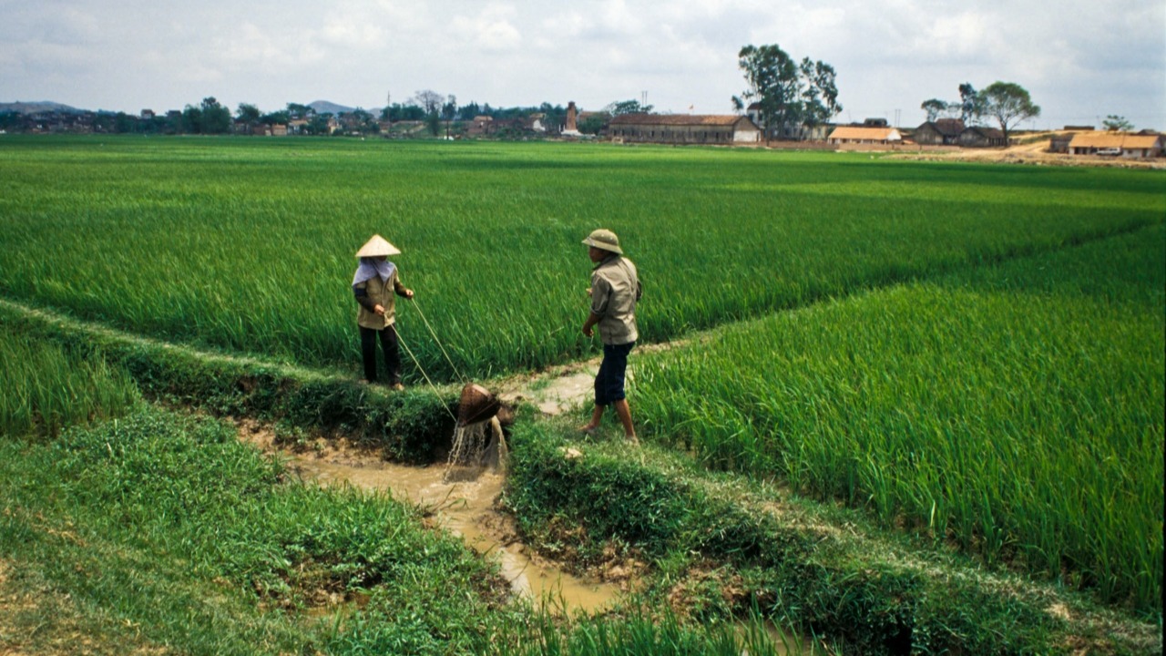
Farmers in a rice field. Photo credit: ADB.
Remote sensing provides accurate results that allow national governments to observe and respond promptly to changes in production and disasters.
With rice a primary staple and a key export in Viet Nam, the Southeast Asian country needs accurate data for regular monitoring of cultivation areas and respond to production, market, and climate risks.
In 2023, Viet Nam produced 43.5 million metric tons of paddy rice cultivated across 7.12 million hectares. Domestic consumption accounted for 21.6 million metric tons, while exports reached 8.3 million metric tons. This positions Viet Nam as the world’s third-largest rice exporter. Agriculture remains a key contributor to the real economy, employing approximately 32.9% of the country’s labor force.
In 2024, An Giang Province, one of Viet Nam’s leading rice-producing regions, piloted a project to gather data about rice-producing areas. The project employed satellite imagery, supplemented by information from field surveys to generate an accurate rice area map, validated against official statistics. Implemented with assistance from the Asian Development Bank (ADB), the project aims to enhance the accuracy and reliability of rice area monitoring, offering a scalable framework for agricultural data producers.
With 616,200 hectares dedicated to rice cultivation and ranking second nationally in paddy production, the province faces significant environmental and disaster-related challenges. These include land subsidence, saltwater intrusion, and vulnerability to flooding and drought. Such risks highlight the need for accurate data on rice production.
The satellite imagery used for the project came from Japan Aerospace Exploration Agency’s (JAXA) remote sensing monitoring system, the International Asian Harvest Monitoring System for Rice (INAHOR). Implemented on the cloud-based geospatial analysis platform Google Earth Engine, INAHOR integrates data from JAXA’s Advanced Land Observing Satellite-2 and optical imagery from the European Space Agency to estimate rice-growing areas.
Agricultural monitoring
Remote sensing technologies are widely used for agricultural monitoring across the Asia and Pacific. Accurate crop maps rely on so-called ground truth data, which can be collected through field surveys or manual interpretation of satellite imagery.
Remote sensing provides accurate results that allow national governments to observe and respond promptly to changes in production and potential climate events or disasters due to natural hazards. Effective monitoring through mapping further supports reliable agricultural statistics, which are required for data-driven economic planning, food security, and policymaking.
Mapping of rice cultivation areas using remote sensing methods benefits from the application of a robust sampling methodology for ground truth data collection. Access to high-quality ground truth data is essential for producing accurate crop area maps, and the integration of robust sampling approaches ensures more efficient and cost-effective sample sizes and allocation.
According to an ADB report on the project, lessons from this study will support the scaling of the methodology and benefit future applications through further testing across different geographies and cropping seasons. Overall, more frequent monitoring and the continued use of remote sensing tools can help governments become more data-driven and deliver timely information to support policy needs, especially in a world increasingly challenged by food security, climate change, and environmental events.
Results
The project assessed 3,532.59 square kilometers of the province’s cultivation area. A total of 2,511.62 square kilometers (71.1%) were classified as rice areas and 1,020.97 square kilometers (28.9%) as non-rice fields.
The map, produced at a resolution of 50 meters per pixel, estimated the area by counting the number of pixels designated as rice producing. Overall accuracy is 95.3%.
Discrepancies between rice area estimates highlight potential underreporting in administrative data. Estimates derived from sampling and remote sensing consistently exceeded those reported through administrative data, suggesting systematic underreporting.
Rice area estimates were validated by comparing them against official administrative data from the National Statistics Office of Viet Nam to better understand the inherent biases from differing rice area estimation methods.
The methodology developed through the study sought to establish a reproducible and scalable framework that extends its applicability beyond An Giang Province. It offers national statistical offices and agricultural data producers throughout the Asia and Pacific region a structured method for incorporating earth observation data and machine learning methods to produce crop area statistics.
Ultimately, the introduction of remote sensing methods with a probability-based ground truth survey aims to enhance the accuracy, reliability, and operational efficiency of rice area monitoring in the Asia and Pacific region. Further validation may be required to assess the reliability and potential biases of administrative data with respect to remote sensing estimates.
Future research could apply the methodology to other regions to evaluate its robustness and develop a reproducible framework. Given that field data collection represents the most significant cost component, future efforts may also explore cost-effective technological alternatives, such as high-resolution imagery from other satellites or unmanned aerial vehicles, to acquire imagery sufficient for labeling by subject matter experts.